Learn GIS and Geography
Want to learn GIS? How about geography? You’ve come to the right place.
How to Convert a KML to a KMZ
To convert a KML to a KMZ, the process is straightforward. It only requires tools such as Google Earth and 7-Zip to get started converting.

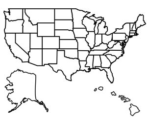
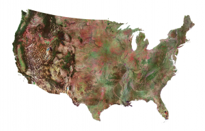
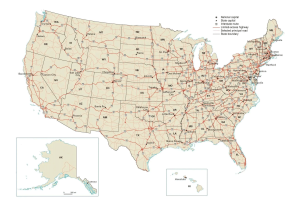
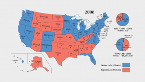
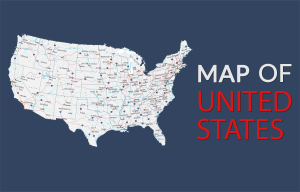
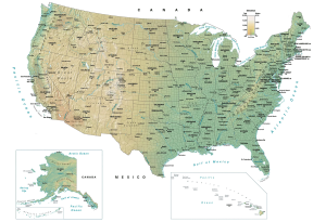
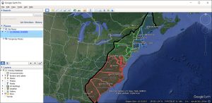
US Map Collection
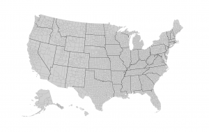
Administration
Administrative areas such as counties, parishes, and boroughs.
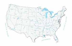
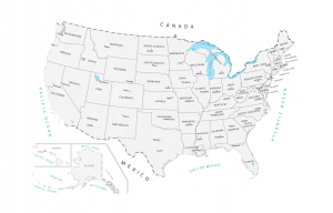
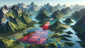
Lakes and Rivers
Hydrographic features for lakes, rivers, and oceans.
DWG to SHP – CAD Files in GIS
There are free tools online that convert DWG to SHP. But we recommended using QGIS, which is an open source GIS software option.
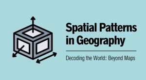
Spatial Patterns in Geography and GIS
Spatial patterns show us how things are connected in the world. With GIS technology, we can visualize and analyze spatial patterns.

GeoAI: Artificial Intelligence in Geography
Imagine if your GIS was not just a know-it-all but also a learn-it-all, constantly figuring out the world. Welcome to the world of GeoAI.

What’s the Difference Between Hexagon Binning and Rectangular Binning?
We explain the differences between hexagon binning and rectangular binning, as well as provide examples of both with tessellation.

AI Maps: Is This Our Future?
Are AI maps inevitable in GIS? AI and its impacts on the GIS industry are overblown. We explore how AI will penetrate our industry.

Digitizing Tips: 15 Must-Know Editing Tools in ArcGIS Pro
This article will highlight our 15 favorite editing tools in ArcGIS Pro. It will showcase their functionality and how to digitize GIS data.
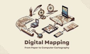
Digital Mapping: Paper Maps to Computer Cartography
We used to draw maps by hand on paper. Now, we use digital mapping to make maps. Some call this process “computer cartography”.
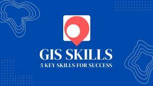
5 Key Skills in GIS: A Guide for New Professionals
Are you new to GIS and looking to get started in the field? With the right GIS skills, you can succeed and carve out a geospatial career.

7 GIS Internships To Kickstart Your Career
GIS internships provide a great opportunity for students and graduates to develop their skills and explore career paths in the GIS industry.
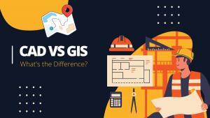
What’s the Difference Between CAD and GIS?
CAD (Computer-Aided Design) and GIS (Geographic Information Systems) are software tools used to create digital models of the physical world.

Best of GISGeography.com in 2023
At the end of every year, we countdown our top 10 pieces of content for what you like most. Here’s what tops the list with our “best of 2023”.

Is the IBM Data Science Certificate Worth It?
In this article, you’ll learn about the value of the IBM Data Science Professional Certificate and the top 10 reasons why you should get it.
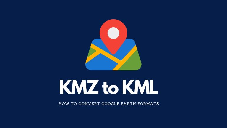
KMZ vs KML: What’s the Difference?
We’ll teach you all the differences between KMZ vs KML. We’ll also show you how to convert them into both file formats in Google Earth.

As-Built Drawings in CAD
As-built drawings are like a diary of a building. They show every detail during construction until completion. They’re the final snapshot.

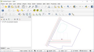
Triangular Irregular Network (TIN)
A Triangular Irregular Network (TIN) is a way to represent a 3D surface. They can show complex surfaces such as slopes and elevation.
7 Aerial Imagery and Photography Sources (Free and Paid)
Explore the world from new heights with aerial imagery. In this article, you’ll learn about our top seven sources of aerial photographs.
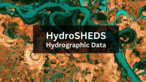
HydroSHEDS GIS Data For Water Management
HydroSHEDS is a free GIS data source (sub-basins, rivers, lakes, waterfalls, and more) for water resources management and decision-making.

Free UAV & Drone Imagery in Geospatial Format
These 3 unmanned aerial vehicle (UAV) data platforms provide us with access to high-quality and free drone imagery in geospatial format.
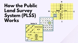
How the Public Land Survey System (PLSS) Works
Learn how the Public Land Survey System (PLSS) works, which divides land in the United States into townships, ranges, and sections.
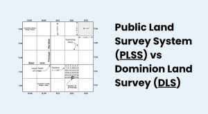
Public Land Survey System (PLSS) vs Dominion Land Survey (DLS)
The Dominion Land Survey (DLS) and the Public Land Survey System (PLSS) divide the land to help distribute land and assign land titles.
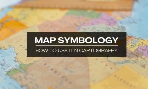
Map Symbology in Cartography
Map symbology is the symbols, colors, lines, and visual elements on a map. These symbols communicate details about the physical world.
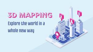
What Is 3D Mapping? A Beginner’s Guide
3D mapping is the process of capturing three-dimensional information about the terrain or environment around you to represent the real world.
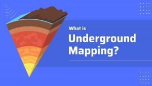
What Is Underground Mapping?
Underground mapping uses a variety of imaging technologies to map subsurface information including oil and gas exploration and utilities.
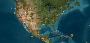
Earthquake Maps for Disaster Response
Today, we’re going to provide you with a list of earthquake maps to help improve disaster response, recovery efforts, and risk assessment.
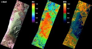
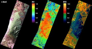
Radar Bands in Remote Sensing
Radar bands are groups of wavelengths. Each has its unique ability to penetrate the Earth’s surface and reveal aspects of the environment.

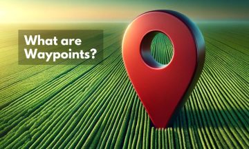
What Are Waypoints?
As Tolkien once said, “Not all those who wander are lost”. This is especially true when we consider the role of waypoints in guiding paths.

LiDAR vs. Photogrammetry: A Guide to Mapping Technologies
LiDAR vs photogrammetry – What’s the difference? LiDAR uses lasers to measure distances. Photogrammetry uses photos from different angles.

BlackSky vs Planet vs Maxar – 10 Differences in Technology
We compare the commercial satellite companies – BlackSky, Planet, and Maxar. Each company has carved out its niche in satellite technology.
10 Uses and Applications of GPS Technology
In this article, we’ll explore the uses of GPS technology, how it has changed our lives, and what the future of GPS may hold.
Ground Truthing: Verify Remotely Collected Data
This guide will provide an overview of the ground truthing process, including the steps involved, the verification process, and the benefits.

How to Convert a KML to a KMZ
To convert a KML to a KMZ, the process is straightforward. It only requires tools such as Google Earth and 7-Zip to get started converting.
5 Maps with Street View To See Your House
Ever found yourself lost in another country? Maps with street view change that. They give you a real-life glimpse of your destination.

Best Dashboards for Mapping
So you’re looking to build a map dashboard? Well, you’ve come to the right place. Today, we’ll count down our favorite map dashboards.
What is ArcGIS Maps for Sharepoint
With the ArcGIS Maps for Sharepoint solution, users can quickly view and explore their geographic data within their SharePoint environment.
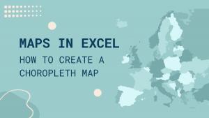
A Step-by-Step Guide to Creating Excel Maps
This step-by-step guide will walk you through the process of creating Excel maps (choropleth maps) from start to finish with sample data.
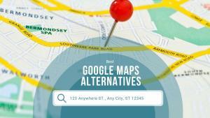
7 Alternatives to Google Maps for Navigation
Whether you’re looking for a detailed map of a city or for a road trip, these alternatives to Google Maps can you with right tool for the job.
World Atlas
A world atlas map with countries of the world sorted alphabetically. With 100+ country outlines, this is geography at its greatest.